


Source: Official website of the Minister
New Delhi, Mar 23, 2026: Space inputs are being used for disaster monitoring & damage assessment in Jammu & Kashmir for major natural disasters such as floods, landslides, and forest fire. The geospatial products such as flood inundation maps, landslide inventory, forest fire detection etc. are disseminated through ISRO’s Geoportals such as Bhuvan and the National Database for Emergency Management (NDEM). ISRO has also developed a customized mobile application and dashboard for visualization for forest fire reporting using geospatial technology for Jammu & Kashmir forest department.
ISRO/DoS collaborates with J&K Remote Sensing Application Centre (JKRSAC) for UT-level implementation of space application programmes such as the Natural Resources Census, National Wetland Inventory, Biodiversity Characterization, Desertification & Land Degradation mapping and Disaster management support. Space-Based Information Support for Decentralized Planning–Update (SIS-DP Update) was also jointly executed, to aid evidence-driven planning across sectors such as agriculture, forestry, rural development, and watershed management.
ISRO has established Satish Dhawan Centre for Space Science (SDCSS) at Central University of Jammu, where faculty/research students are provided access to ISRO facilities to support learning and enhance understanding on space technology.
ISRO also established Space Technology Incubation Centre (STIC) at NIT Jalandhar and Regional Academic Centre for Space (RACS) at NIT Kurukshetra, for the Northern region of the country which includes Jammu & Kashmir. STIC & RACS programmes provides opportunities to students to work on space technology related projects. Regional colleges and other institutions within the Northern region can submit project proposals through these programmes. This arrangement enables students from both the host institutions and other colleges in the region to actively participate in and work directly on ISRO projects.
Additionally, to extend space research opportunities among institutions all over the country, ISRO operates the RESPOND (Sponsored Research) programme, which allows any academic institution in India, regardless of its location, to submit project proposals and participate in space technology-related projects.
ISRO supports use of space inputs and geospatial tools for disaster early warning and coordination through the implementation of National Database for Emergency Management (NDEM) under the Integrated Control Room for Emergency Response (ICR-ER) of MHA. NDEM integrates early warning inputs from satellite data with alerts issued by operational agencies such as IMD, CWC and DGRE. NDEM also has decision support tools for emergency response, Post-Disaster Need Assessment (PDNA), and also hosts India Disaster Resource Network data for effective disaster response and coordination.
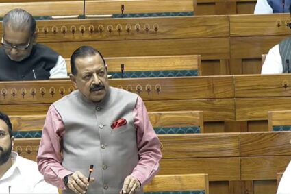
This information was given by Union Minister of State (Independent Charge) for Science & Technology and Earth Sciences, and Minister of State in the Prime Minister’s Office, Personnel, Public Grievances and Pensions, Atomic Energy and Space, Dr. Jitendra Singh, in a written reply in the Rajya Sabha today.